Want to know more about a specific location? Dive right in -- Google Earth combines satellite imagery, maps and the power of Google Search to put the world's geographic information at your fingertips.
Fly from space to your neighborhood. Type in an address and zoom right in. Search for schools, parks, restaurants, and hotels. Get driving directions. Tilt and rotate the view to see 3D terrain and buildings. Save and share your searches and favorites. Even add your own annotations."
Das 10Mb grosse Programm, welches eine Art Weboberfläche ist, kann kostenlos runtergeladen werden und bietet interessante Bilder des gesammten Planeten. nachtrag: Das Konzept ist ähnlich dem eines Wikis, denn jeder kann mitmachen und Orts, Stassennamen usw. die noch nicht vorhanden sind hinzufügen.
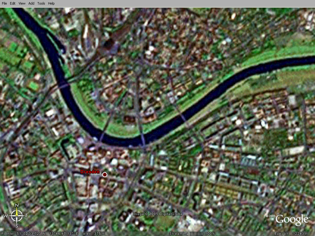
Das geht noch näher. Allerdings hat irgendein Ami geschrieben, in Dresden wäre auch der Brocken, und von da aus sei Ostdeutschland vom Westen aus überwacht worden. Ich habe deshalb Locations der User deaktiviert. Der Brocken ist etwa an der Sachsenallee.
Dieser Beitrag wurde von innosonic.com: 17 Jul 2005, 11:04 bearbeitet

 03 Jul 2005, 11:51


 Antworten


 Der Brocken ist etwa an der Sachsenallee.
 Neues Thema